Providing neighbourhood connections to major destinations such as schools, recreation centres, parks, libraries and shopping is one of the goals of the city’s Pedestrian and Cycling Strategies (see Direction 1B – Action Item 10)[1].
The Burrows Central-Shaughnessy Park-Tyndall Park Neighbourhood Greenway that we are proposing would run from Egesz Street in Tyndall Park to Arlington Street in the Burrows Central neighbourhood. Along the way it would pass through the Shaughnessy Park and Burrows-Keewatin neighbourhoods as well.
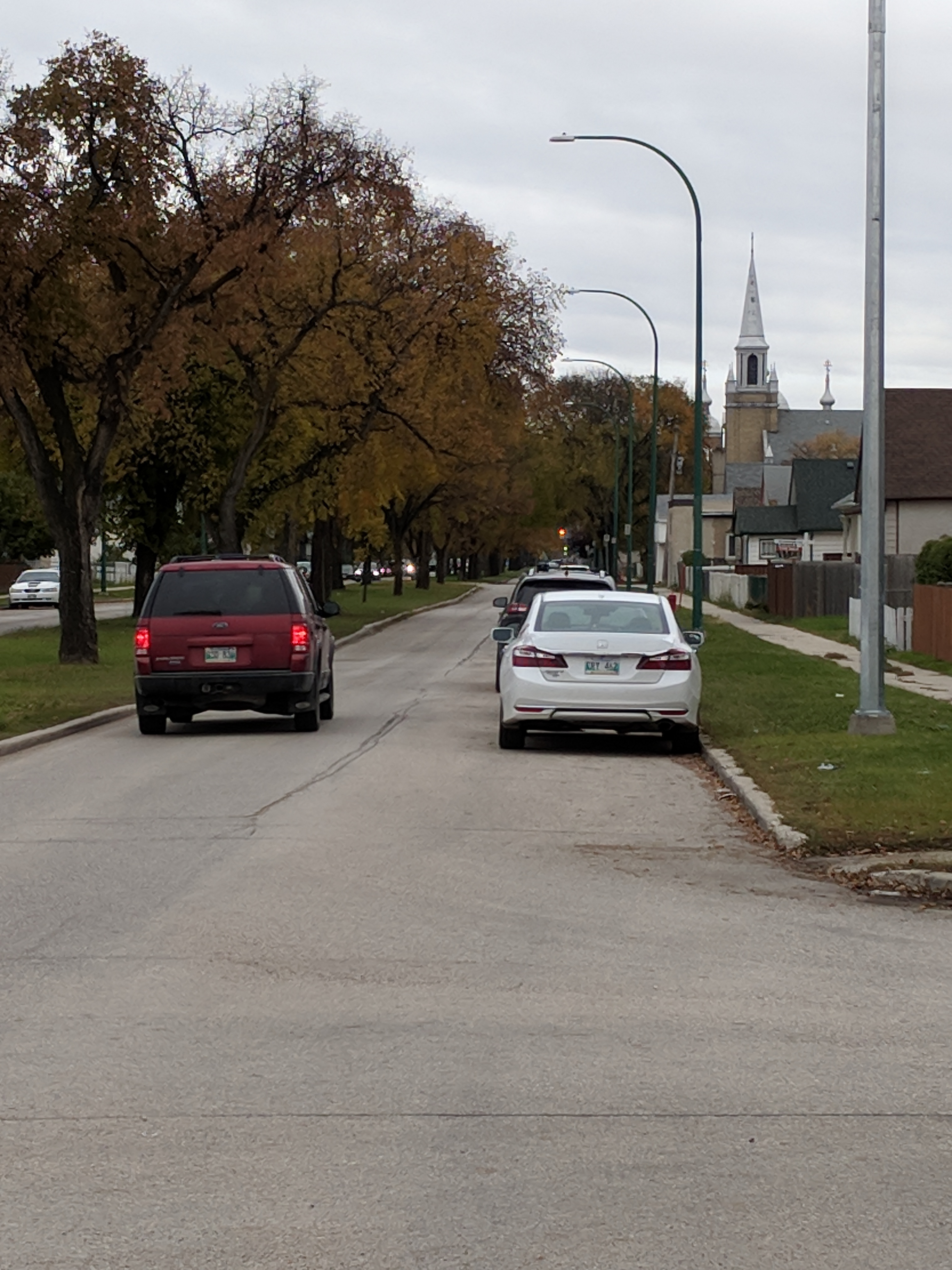
Essentially, the Burrows Central-Shaughnessy Park-Tyndall Park Neighbourhood Greenway would follow a routing along Charter Dr, Marble Ave, Herman Ave, Tyndall Ave, Gilbert Ave, and Redwood Ave. Mixed traffic would remain on these roadways (with minimal traffic calming measures needed to keep traffic levels low), but crossings at major intersections like Keewatin and Burrows would be improved to improve safety and comfort levels, and some short segments of pathway would be added (or upgraded) to connect the chosen route.
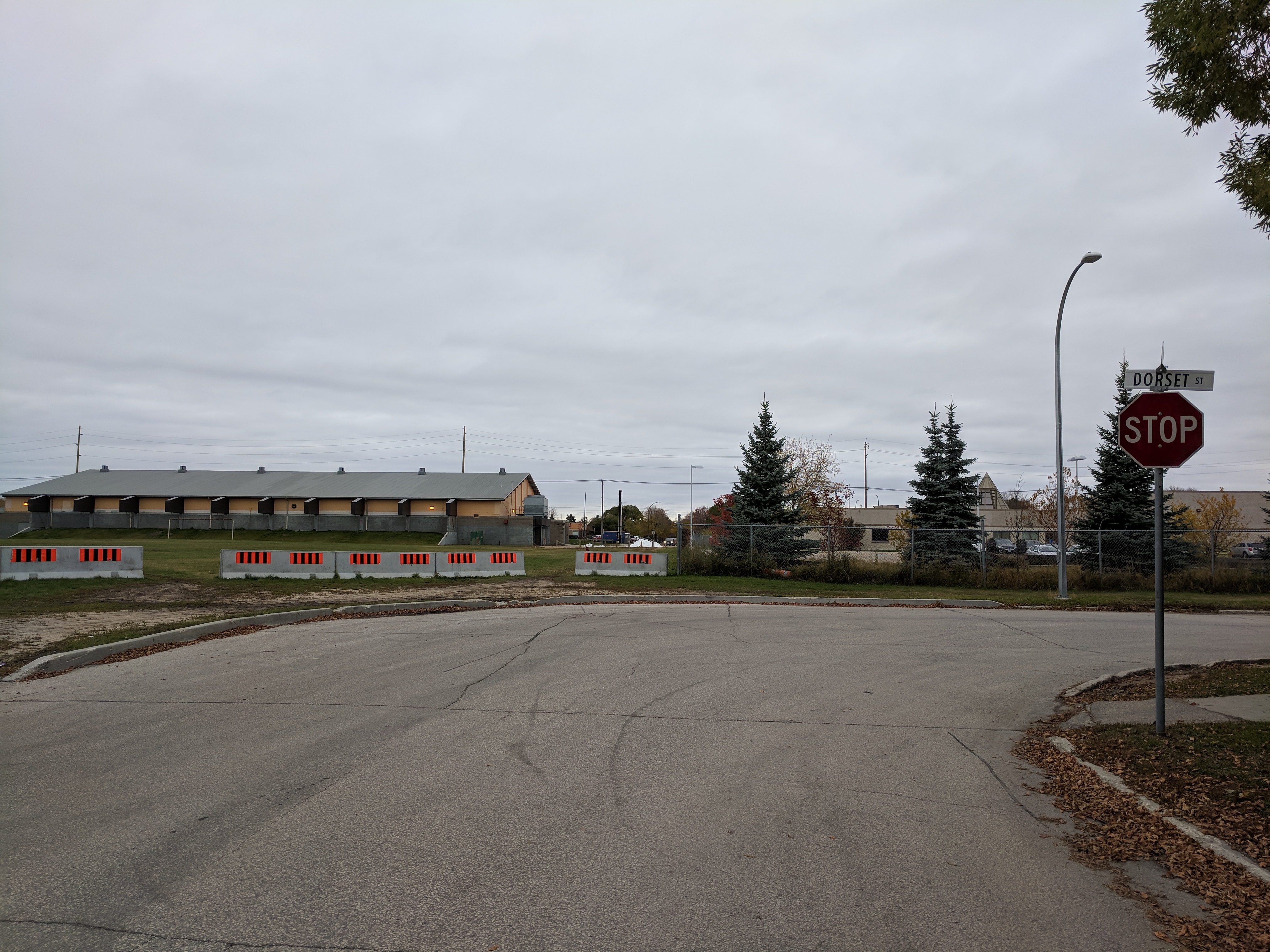
A connection between Tyndall Avenue and Tyndall Park could be provided with installation of a traffic signal to aid the crossing of Keewatin Street and a pathway between Dorset St and Keewatin St just north of the Billy Mosienko Arena
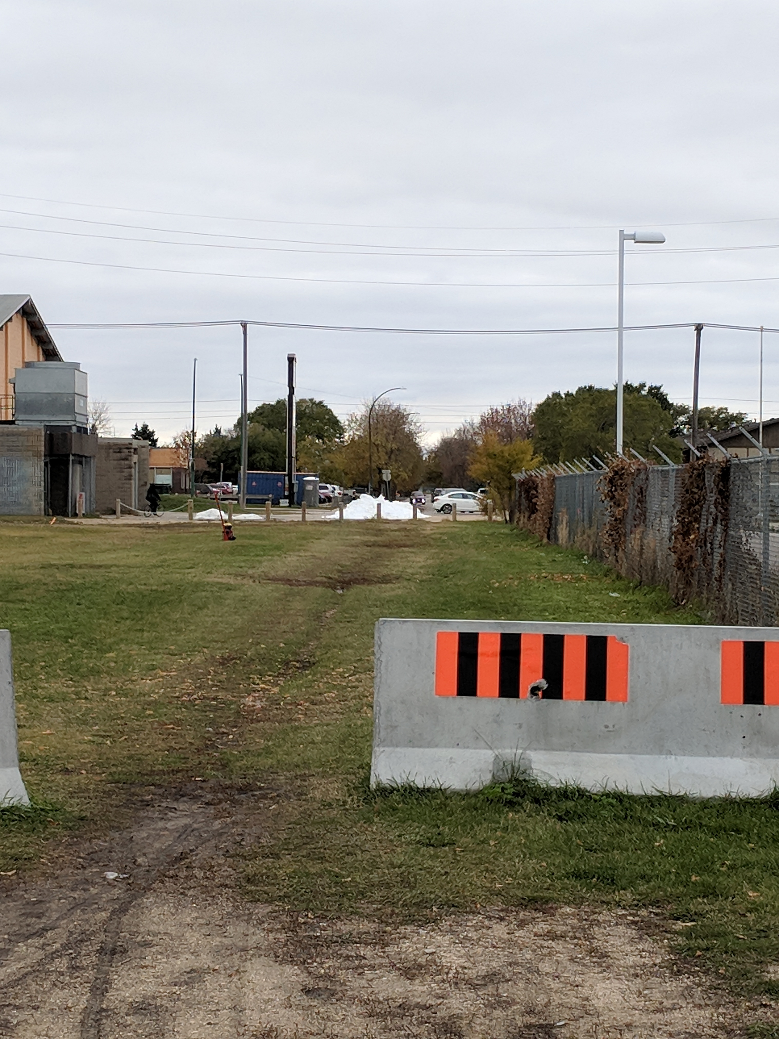
A pathway from Dorset Ave to Keewatin St combined with installation of a traffic signal at Keewatin St would provide access between Shaughnessy Park and areas west of Keewatin St.
Key destinations along the route we are proposing would include:
- Tyndall Park Community Centre
- Tyndall Park Community School
- Tyndall Market (Shopping)
- Tyndall Square (Shopping)
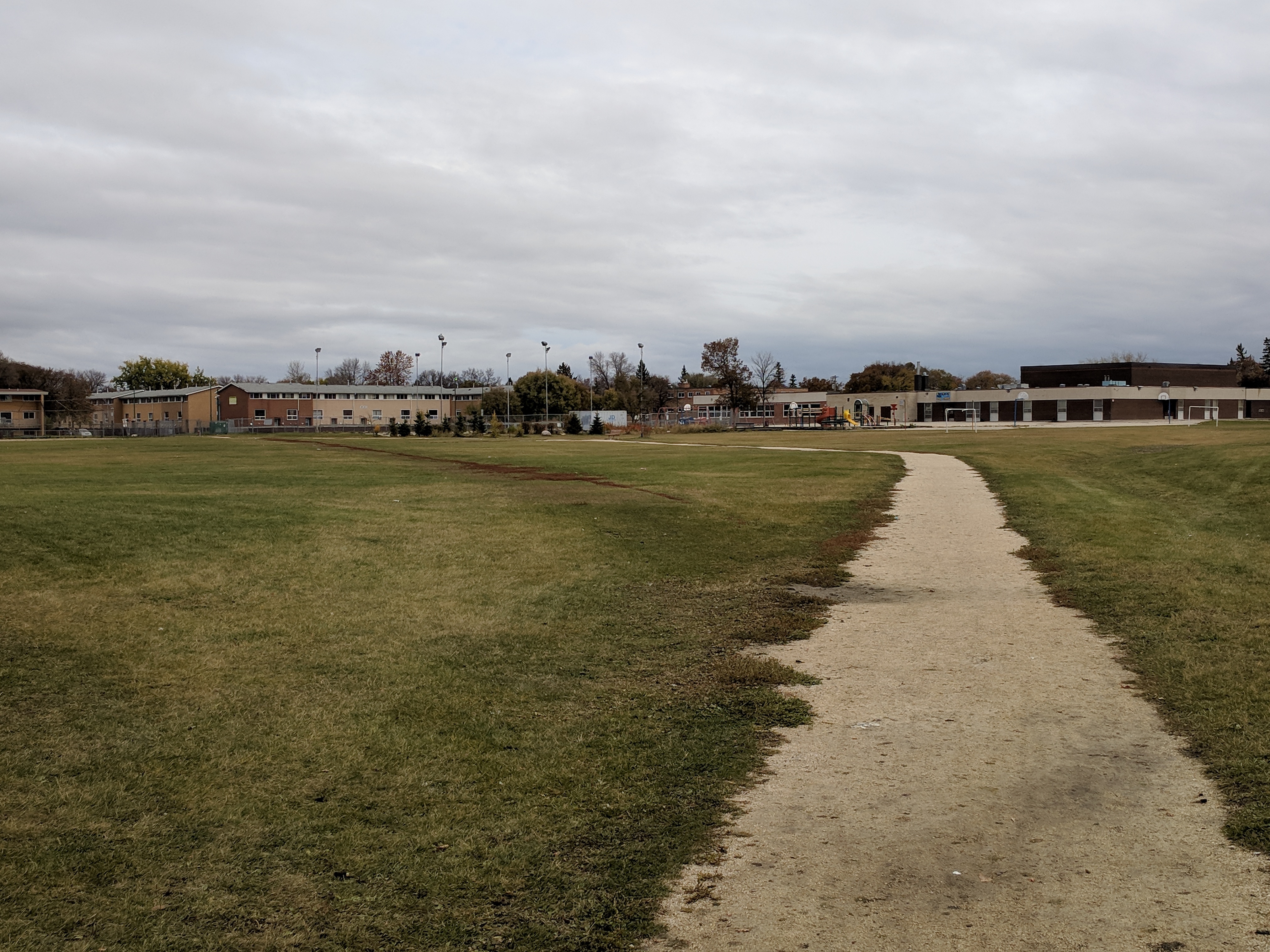
- Shaughnessy Park (Soccer & Baseball Fields)
- Sir William Stephenson Library
- Philippine Canadian Centre of Manitoba (PCCM),
- Billy Mosienko Arena
- Shaughnessy Park School
- Shaughnessy Recreation Centre
- Northwood Park
- Northwood Park Community Centre
- Sisler High School
- Lord Nelson School
Existing pathways in Shaughnessy Park provide access from Dorset Ave to Gilbert Ave.
Easy access to the following destinations would also be provided:
- McPhillips Street Casino (via Northwest Hydro Corridor Greenway)
- Old Exhibition Grounds Park (via a Neighbourhood Greenway on Battery St)
- Old Exhibition Arena (via a Neighbourhood Greenway on Battery St)
- Sergeant Tommy Prince Place (formerly North Centennial Recreation & Leisure Facility) (via a Neighbourhood Greenway on Battery St)
- The Centennial Swimming Pool (via a Neighbourhood Greenway on Battery St)
- Winnipeg Aboriginal Sport Achievement Centre (via a Neighbourhood Greenway on Battery St)
The proposed Burrows Central-Shaughnessy Park-Tyndall Park Neighbourhood Greenway compliments bicycle network improvements currently underway on the following projects (all of which should be completed within the next 5 years):
- Keewatin Street Underpass & Pathway Extension
- Northwest Hydro Corridor Greenway
- Arlington Bridge & Protected Bike Lanes
The section connecting Gilbert Avenue to Redwood Avenue will be the most challenging part of the bikeway to develop (crossings of Burrows Avenue, the CPR Arborg Line, and Sheppard St), but alternatives to a direct route exist and can be considered as part of the design.
East of the CPR Arborg Rail Line, the Burrows Central-Shaughnessy Park-Tyndall Park Neighbourhood Greenway would replace Burrows Avenue in the planned bike network, as the feasibility of converting Burrows Avenue into a neighbourhood greenway (or adding bike lanes) between Keewatin and Main Street is untenable (limited right of way and lane widths, mature trees on a narrow median, high demand for parking, high volumes of traffic).
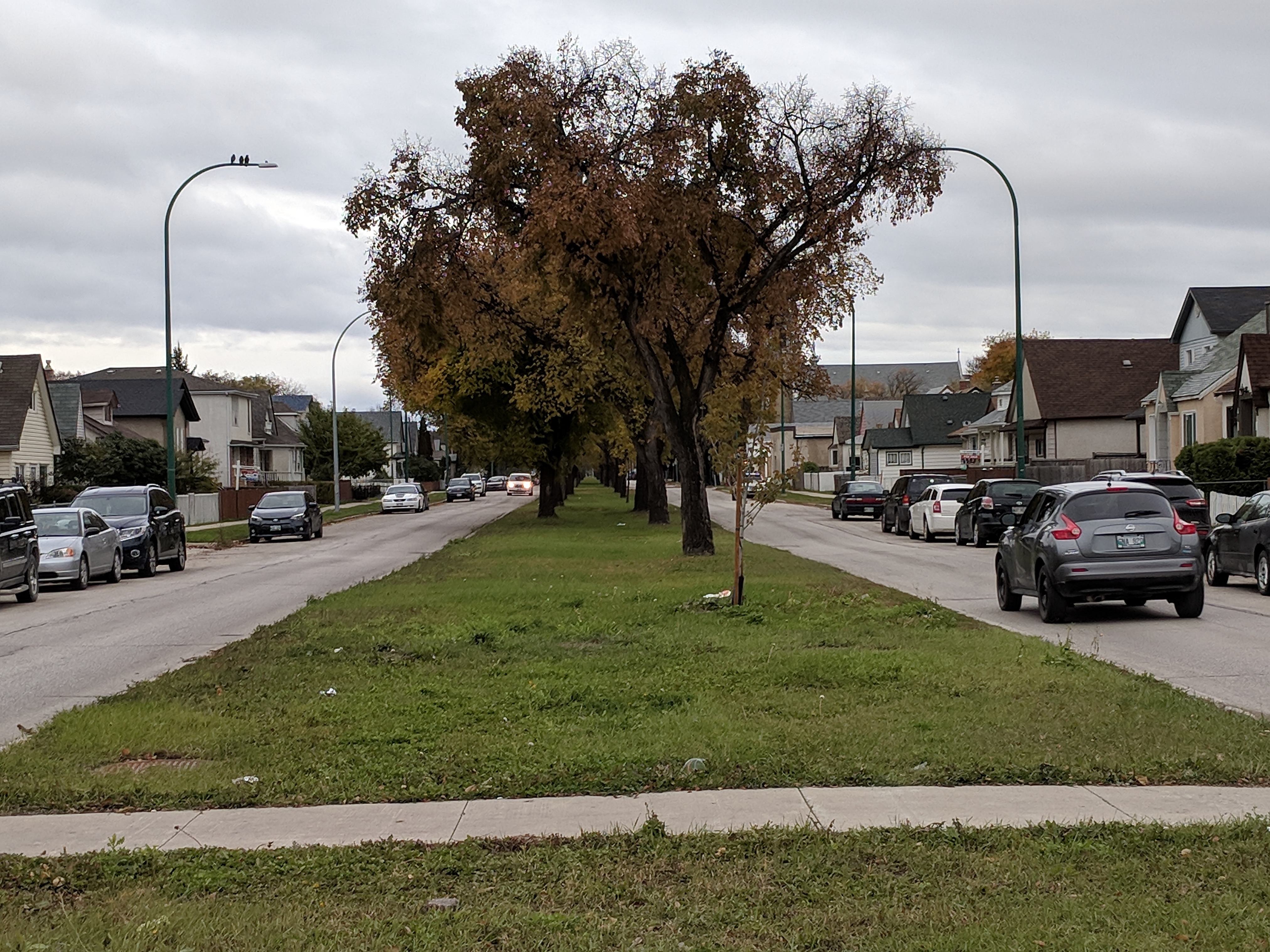
Plans for a neighbourhood greenway, bike path, or bike lanes along Burrows Ave are likely untenable.
Plans for a neighbourhood greenway, bike path, or bike lanes along Burrows Ave are likely untenable.
Together with a pathway on the south side of Selkirk Avenue between Keewatin St and McPhillips St it would also replace the Manitoba Avenue Neighbourhood Greenway as it would provide better connectivity to destinations, better crossings, and fits in better with the desired mesh width of the cycling network.
We would like to see candidates commit to including a corridor study for this route in the 2019 or 2020 Pedestrian and Cycling Program Action Plan, with construction to follow in 2021 and 2022.
Full cost of studies plus improvements would likely be around $3 million.
End Notes
[1] Pedestrian and Cycling Strategies – Direction 1B – Action Item 10; Page 291, City of Winnipeg, 2015
Ensure that bicycle requirements be addressed in all new and renewal road projects that are part of the bicycle network or where the road provides connectivity or support to the bicycle network.