The City of Winnipeg’s Pedestrian & Cycling Strategies calls for a dense, connected bicycle network to be developed over the next 20 years that will provide direct routes to key destinations. Included in the strategies is a recommendation to develop a new pedestrian & bicycle crossing of the Red River connecting connecting Scotia Street (near Rupertsland) to Kildonan Drive (Bronx Pl.).
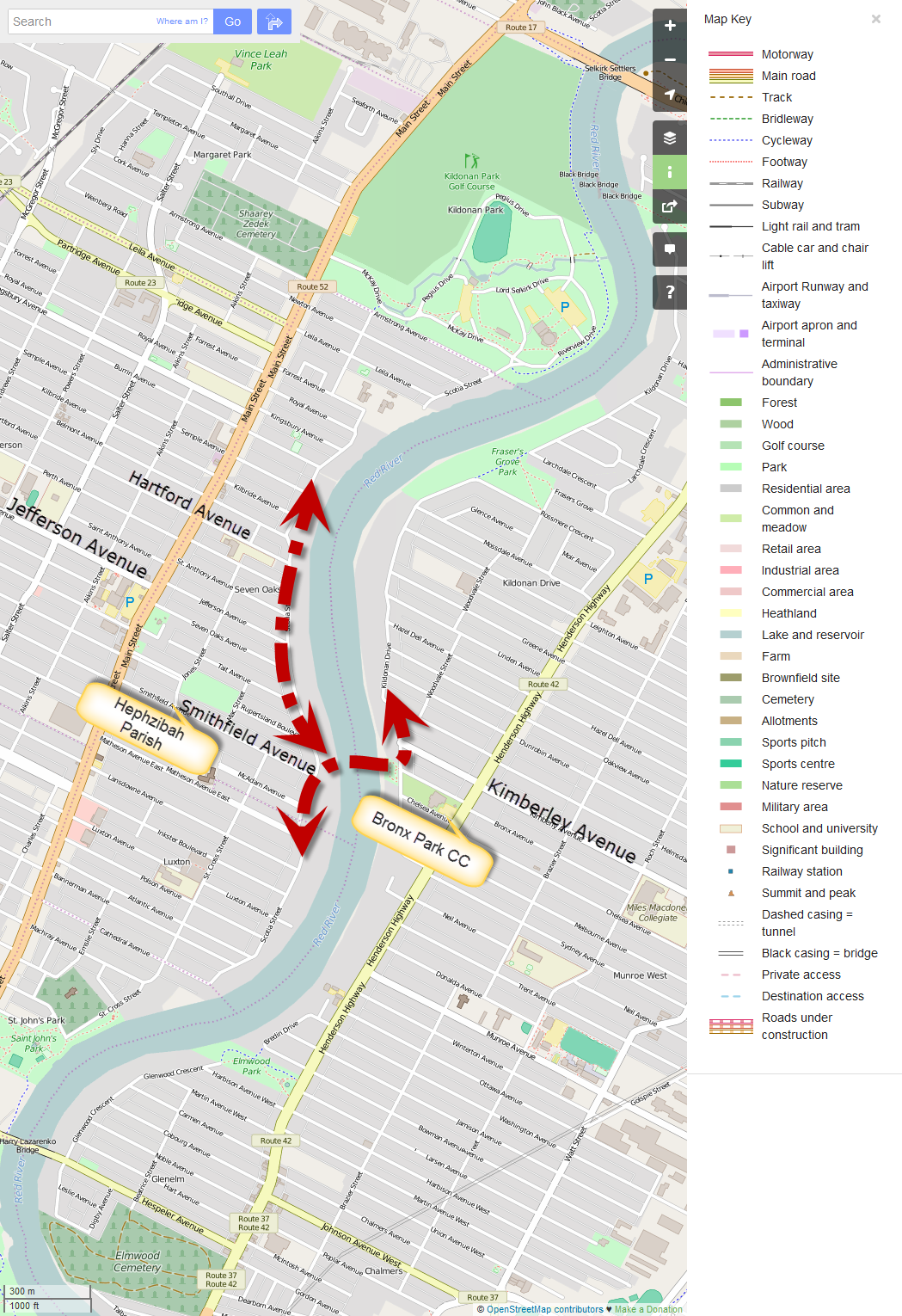
Suggested location of Scotia St – Kildonan Dr AT Bridge (map courtesy OpenStreetMaps.org)
New Neighbourhood Connections
A new Scotia St – Kildonan Dr AT Bridge would provide an important walking and cycling connection across the Red River at a point where access along the east bank of the Red River is restricted to Henderson Highway and beyond. This would create shortened travel distances for people walking or cycling between the Munroe West and Scotia Heights communities, as the nearest bridges are current the Kildonan Settlers Bridge (Chief Peguis Trail) and the Harry Lazarenko Bridge (Redwood). As the Harry Lazeranko Bridge is not a particularly bicycle friendly bridge, in reality, most people riding their bikes are currently choosing between the Kildonan Settlers Bridge and the Disraeli AT Bridge.
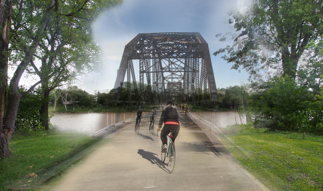
Mock up of Scotia St – Kildonan Dr Pedestrian & Bicycle Bridge
Based on estimates developed for the U of M St. Vital Pedestrian & Bicycle Bridge back in October of 2013, we estimate that the cost of construction for a Pedestrian & Bicycle Bridge linking Scotia St to Kildonan Dr would be about $15 million.
Further Reading
City of Winnipeg Pedestrian & Cycling Strategies